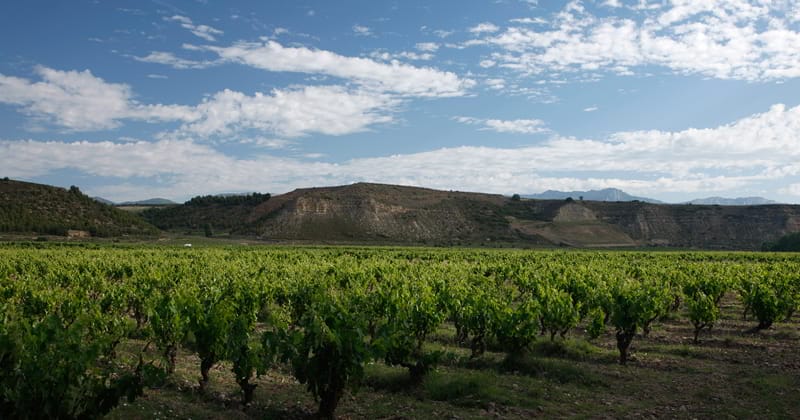
The singular orography of Rioja Alavesa is formed by a plot of small valleys, of hillsides in all orientations, of ravines that constantly change directions, of plateaus, sandstone hills and witness hills, of river plains. A complexity that, however, seems understandable and simple, given the small area of the region and its location between two major landmarks: the Ebro river to the south and the mountain ranges of Toloño and Cantabria to the north.
In this geographical picture, a kind of irregular model, there are thresholds that connect different morphologies, textures and even microclimates. They take us from the arid to the humid, from the high and windy to the low and protected, from the small torrents to the open plains or from the continental to the purely Mediterranean environment.
These are transitions of such reduced thickness that they often catch us by surprise. But as soon as we look, we discover in them unusual connections, small landscapes, environments with a subtle but very deep personality, which are a break from the almost absolute dominance of the vineyard.
The ravine that leads to the meander
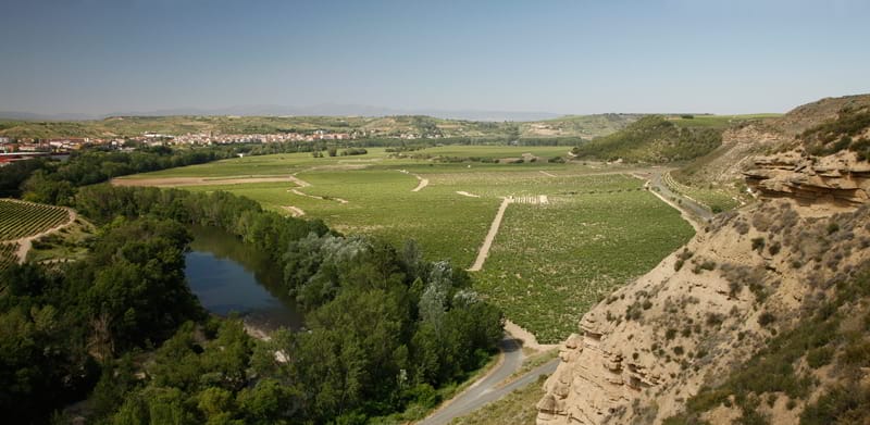
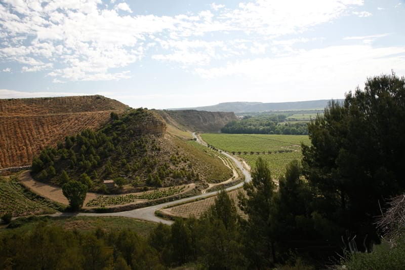
In our Elciego vineyards there are some of those passages. Perhaps one of the best-known is in the valley that closes to the south the wide and soft plains called Garcimoracho which in turn are the natural end of El Gallo plateau.
That small ravine crossed by a narrow road connects with the wide meander of Valduengo, on the banks of the Ebro. It implies, therefore, a change of altitude between the high and low terraces of the Ebro in this sector southwest of the town of Elciego. The passage is flanked by high slopes. The bare sandstone rock saves a drop of 50 meters. Seeing the area from the opposite shore, in the town of Cenicero, these cliffs form the most characteristic image of the first steps of the Ebro valley.
Right in the middle of the steep ocher walls, the access valley from Garcimoracho, with its dark and narrow mass of tickles, bushes and repopulation pines, appears as a relic of the remote forest that dominated the entire slope thousands of years ago where today is Rioja Alavesa.
In the mid-19th century there was still a lot of holm oak forest. The proof is that the municipality of Elciego sold the wood from part of its Valduengo oak forest to fund the construction of the bridge over the Ebro that communicated the town with the neighboring Cenicero. From the north head of the bridge starts another of the roads traditionally used to access the meander, which today is planted almost entirely of vineyard.
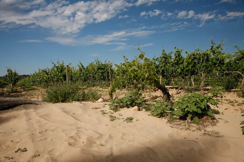
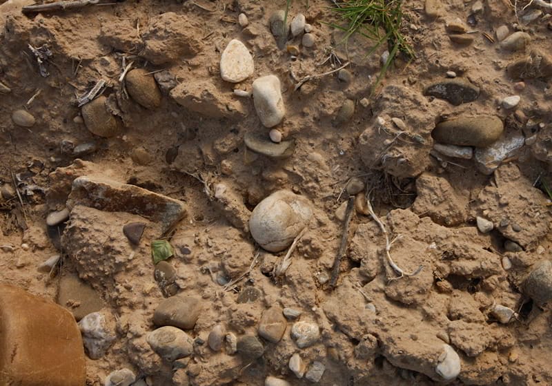
Here, unlike the clay-calcareous lands of El Gallo and Garcimoracho itself, the soil consists mostly of sands of alluvial origin. We also find abundant boulders, formed by the perpetual passage of the river Ebro waters. This is another example of the remarkable diversity of our region, more evident the closer we approach the observation of its geographical features.