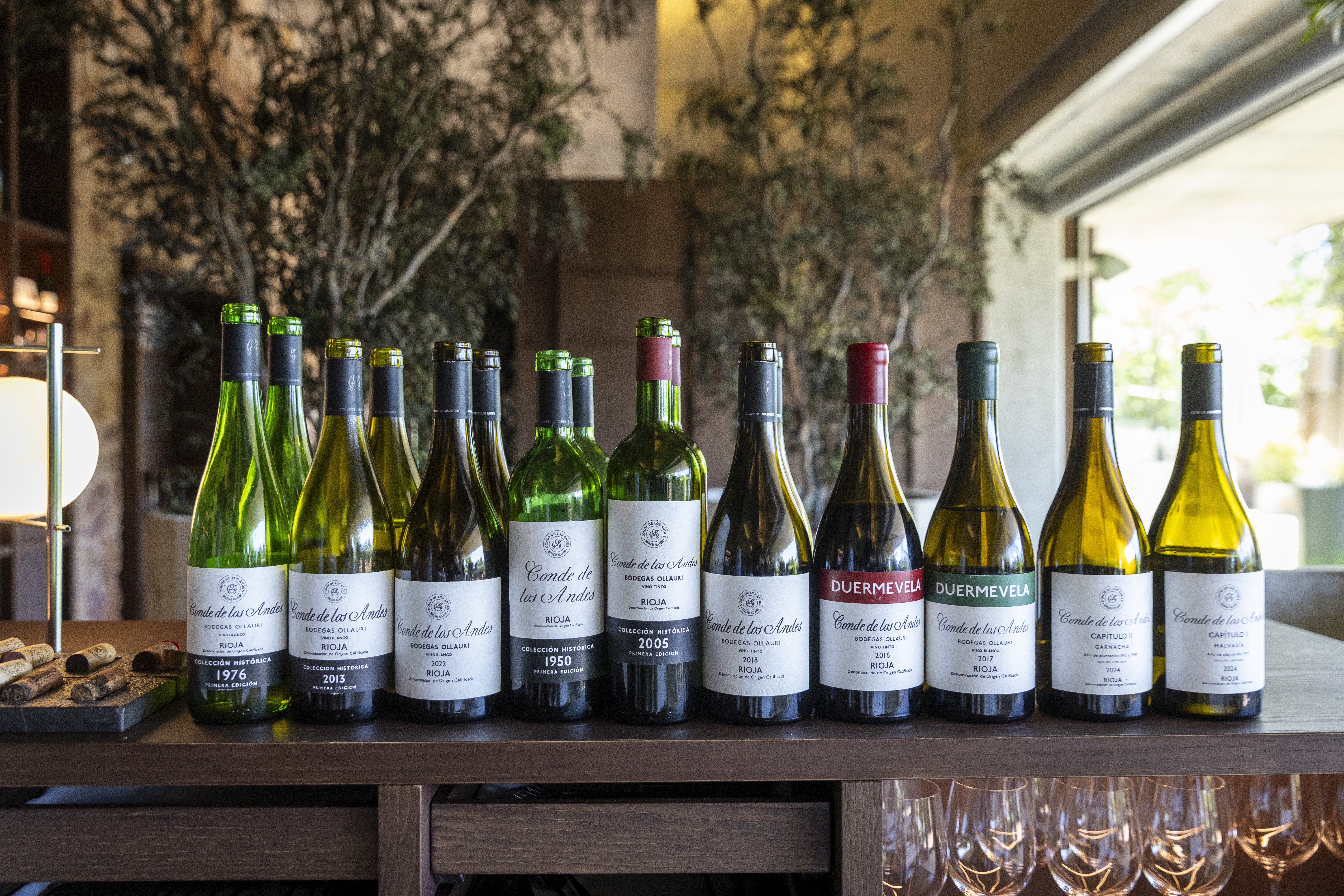
Tips to cross the Sierra de Cantabria

For centuries, Rioja wine relied on mountain passes to reach its markets
Pruning requires concentration and, every now and then, a necessary pause. During these breaks, we momentarily raise our bodies, broaden our shoulders and contemplate the views around us. And then we see the steep lines of the Sierra de Cantabria mountains, a short distance from the vineyards of Elciego. When the day begins with one of those clean, windy winter mornings, it seems as if we can reach the mountains just by stretching out our arms.
The silhouette of the mountain switches from the dark green of the holm oak forests to the bluish whiteness of the cliffs and rocks. Our gaze stops at some almost imperceptible stretches, vertiginous paths that zigzag up the rock and disappear after reaching the summit.
How many people have trodden these trails? Because what we see, or sense, is nothing other than ancient communication routes. From time immemorial, these mountain roads have connected Rioja Alavesa with Vitoria and the rest of the Basque Country, the closest market for the wines of our region.
Of all the many natural trails that dot the Sierra de Cantabria, the Herrera mountain pass is the best known and most popular today. The A-2124 road, which connects Logroño and Vitoria, runs through it. Centuries ago, in the golden age of trade with mules and horses, muleteers carrying wine to the northern towns travelled through here and returned with wood, coal, iron tools and fish from the Basque coast.
For these trips, locally known as traviesa, numerous other mountain passes were used. They were alternately chosen based on the destination of the goods, the weather conditions and other practical aspects.
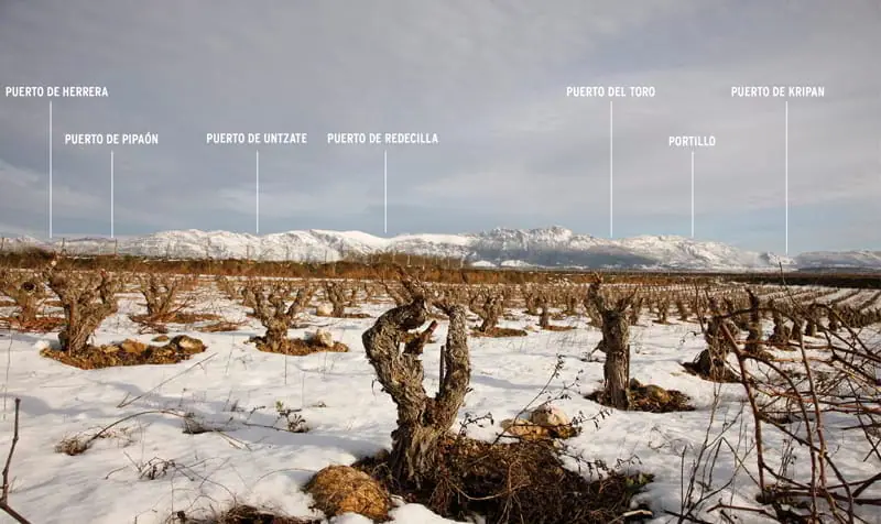
To the west of the Herrera mountain pass, towards the stretch of mountain known as Toloño, are three mountain passes: Rivas, Osluna and Atau. The latter is virtually a gateway hidden in the vegetation at the foot of Artxabal (1,172 metres). If we look to the east, we can see Pipaón, Untzate and Redecilla passes, and then the steep and challenging El Toro, at 1,202 metres. Nestled between two major peaks "Peña del Castillo and Peña del León" it connects the villages of Laguardia (Rioja Alavesa) and Lagrán (Montaña Alavesa), practically in a straight nine-kilometer line. It is listed by the Regional Government of Alava on its interesting Green Routes, as part of the Wine and Fish Route, which can be read here.
Further to the east, we find El Portillo, Kripán and La Aldea, a distinctive passage between two rocky walls starting in Lapoblación, at the foot of the iconic mountain known as El León Dormido (The Sleeping Lion). Crossing through this pass as well as Kripán, we reach the village of Bernedo, in the heart of Montaña Alavesa, an area that is considerably more humid and densely forested than the Riojan side. We shall focus on the role of the long Sierra de Cantabria as a climatic frontier in a future story.
We recommend the Mendikat website to plan routes across the passes mentioned in this blog entry and, in general, across the entire Toloño and Cantabria mountain ranges.
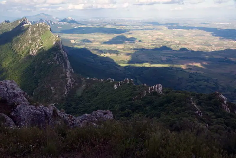 El Toro pass is right in the middle of Sierra de Cantabria range, between Rioja Alavesa and Alava mountain region